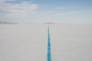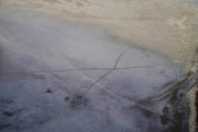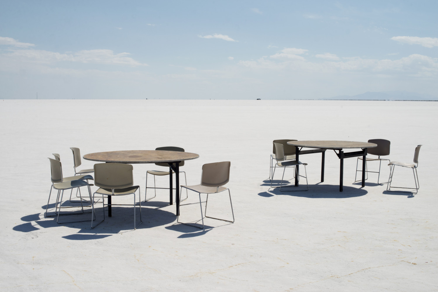
Carolyn Drake The Bonneville Salt Flats, a densely packed salt pan that is a remnant of the Pleistocene Lake Bonneville and is the largest of many salt flats located west of the Great Salt Lake. It is public lan (...)

Carolyn Drake The Bonneville Salt Flats, a densely packed salt pan that is a remnant of the Pleistocene Lake Bonneville and is the largest of many salt flats located west of the Great Salt Lake. It is public lan (...)
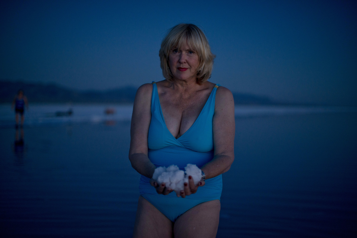
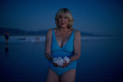
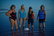
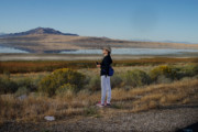
Carolyn Drake USA. Great Salt Lake, UT. 2016. A group of women came on the night of the full moon for a dip on the salty north shore of the great salt lake near the Spiral Jetty. They will burn sage and cut out (...)
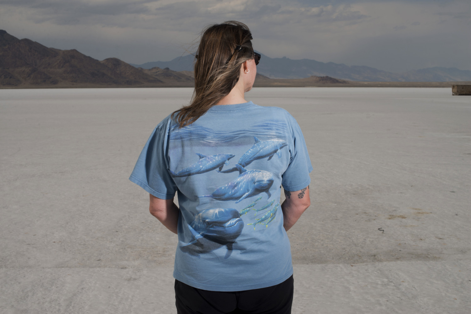
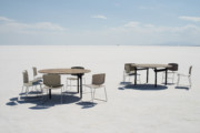
Carolyn Drake Participant at the annual World Speed event at Bonneville Salt Flats, a densely packed salt pan that is a remnant of the Pleistocene Lake Bonneville and is the largest of many salt flats located we (...)
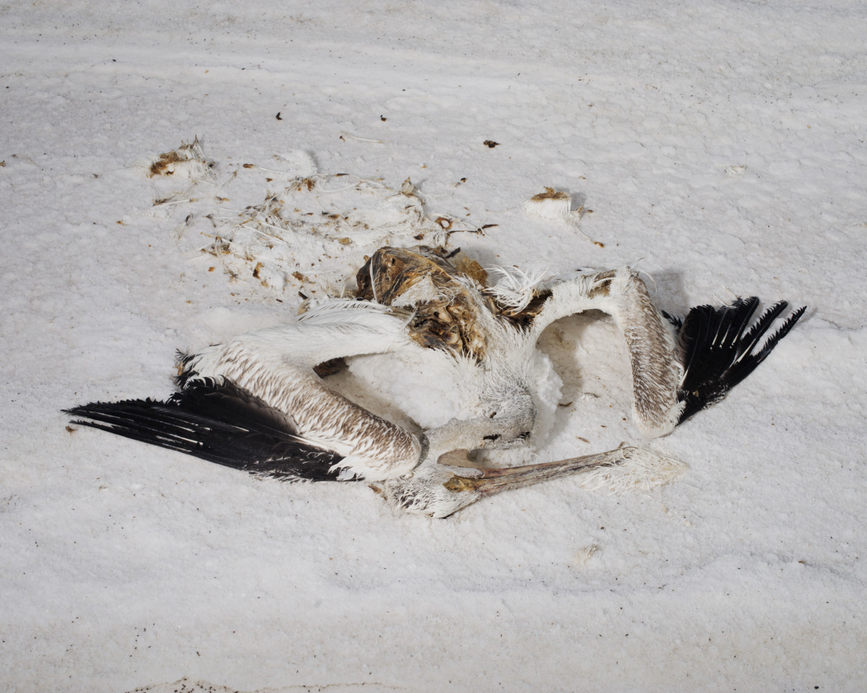
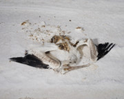
Carolyn Drake Pelicans migrate from their nesting ground across the lake to find food every season and many cannot make the long trek and get stuck in the salt on the Northeast shore of the Great Salt Lake. Grea (...)

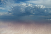
Carolyn Drake The salty north arm of the Great Salt Lake. In 1959, a railroad causeway built across the lake drastically reduced the lake's circulation and eventually caused the northern and southern sections of (...)
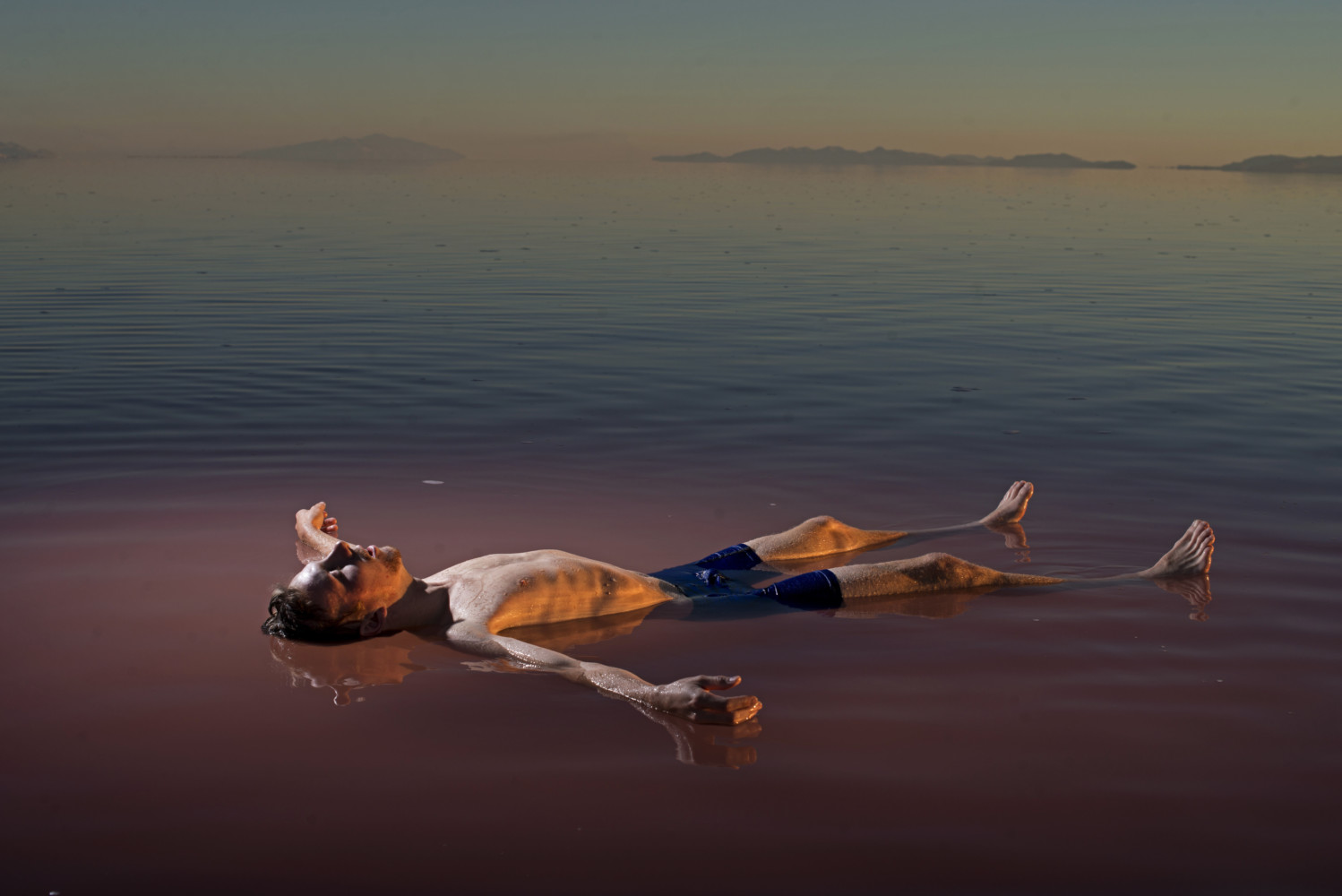
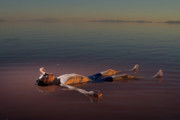
Carolyn Drake Benjamin Anderson, an artist, floats in the salty north arm of the Great Salt Lake. In 1959, a railroad causeway built across the lake
drastically reduced the lake's circulation and eventually cau (...)
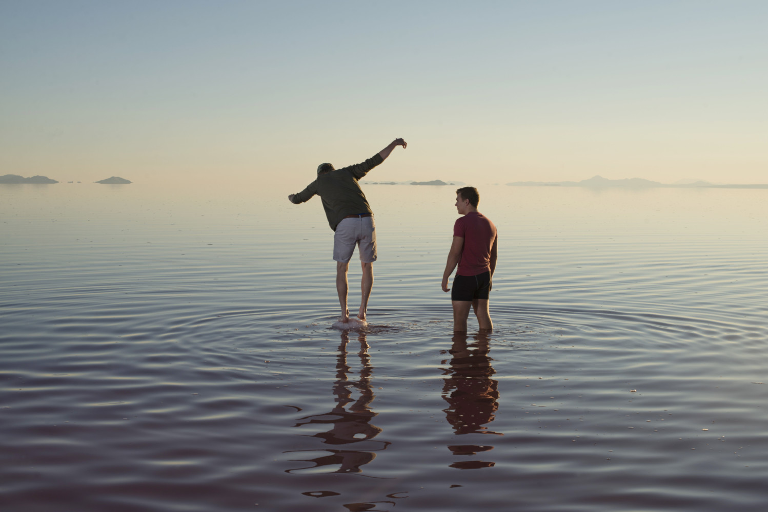
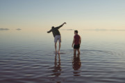
Carolyn Drake Benjamin Anderson balances on a salt crystal rock in north arm of the Great Salt Lake along with Jaden Olson. In 1959, a railroad causeway built across the lake drastically reduced the lake's circu (...)

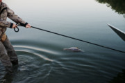
Carolyn Drake USA. Farmington, UT. 2016. R Jefre Hicks, a great salt lake activist and hunter, takes me out on his airboat in Farmington Bay. The bay is covered in phragmites, a weed that takes over the wetlands (...)
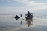
Carolyn Drake USA. Ogden, UT. 2016. R Jefre Hicks, a great salt lake activist and hunter, takes me out on his airboat in Ogden Bay. He stops at a spot where an airboat got stuck in the mud last winter. © Carolyn Drake | Magnum Photos
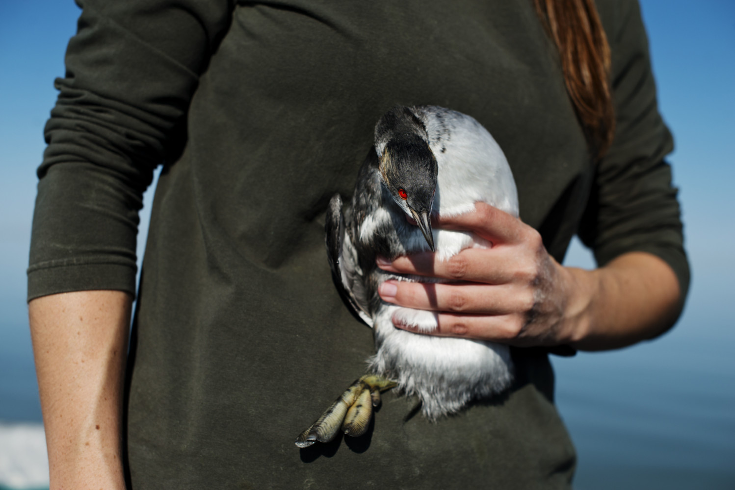
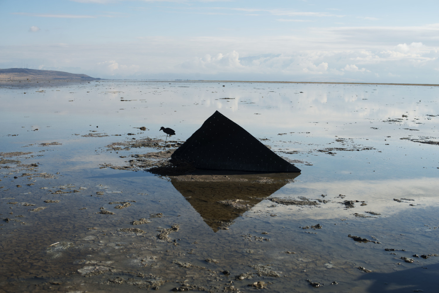
Carolyn Drake USA. Salt Lake City, UT. 2016. For her PHD research, Taylor Hannah along with John Neil and other biologists, takes a boat out from Antelope Island marina to trap two eared grebes and attach satell (...)

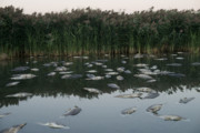
Carolyn Drake Farmington Bay is covered in phragmites, a weed that takes over the wetlands and spreads rapidly, reducing habitat available for birds and other wildlife. Many carp in this spot died due to low wat (...)
Carolyn Drake Salt over brine in the evaporation ponds of Compass Minerals. Great Salt Lake, UT. USA. 2016. © Carolyn Drake | Magnum Photos
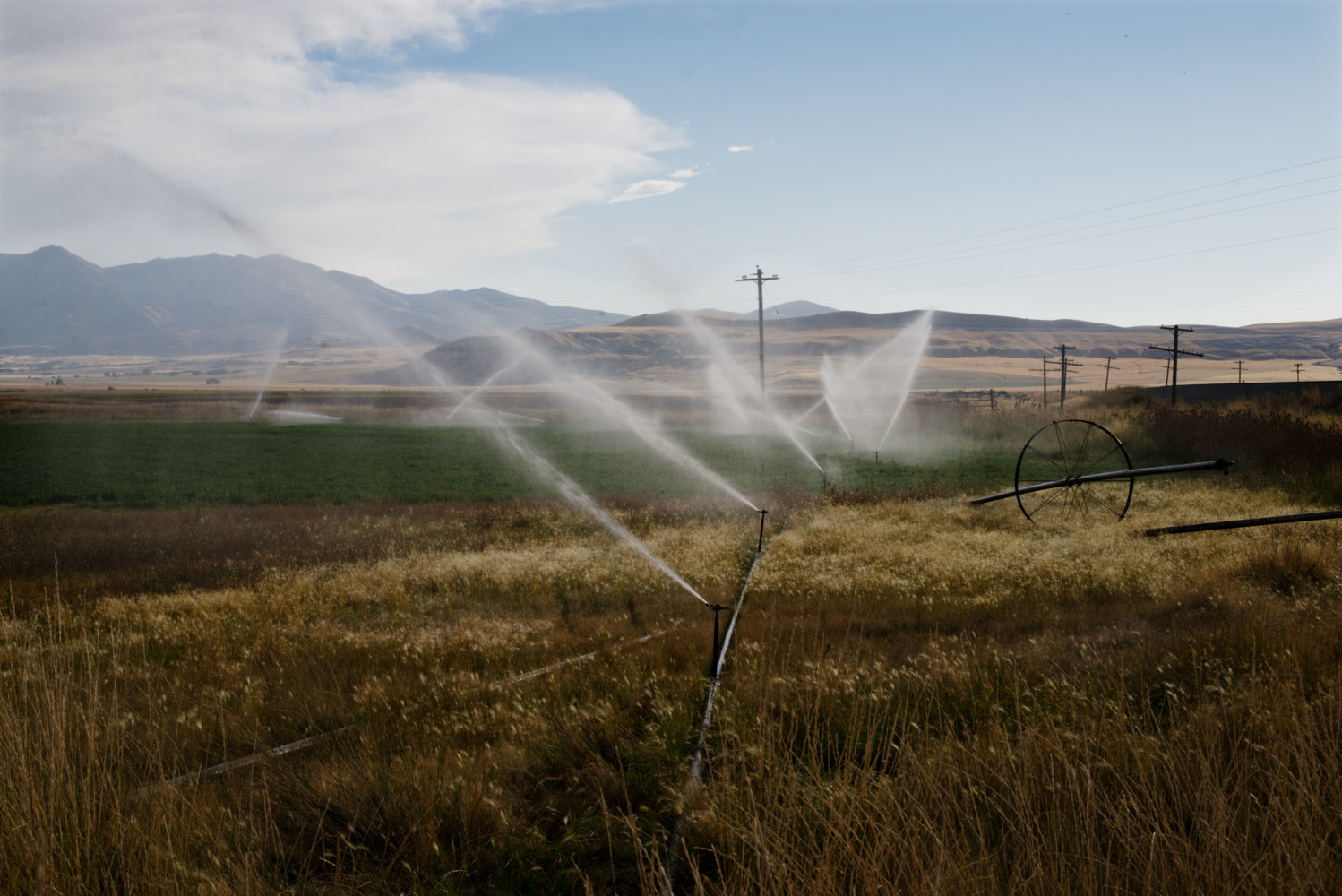
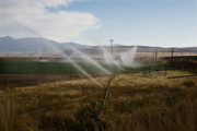
Carolyn Drake Irrigated agricultural lands. The population in the Salt Lake City area is growing rapidly and new dams are proposed on the Bear River that would further deplete the water supply of the Great Salt (...)
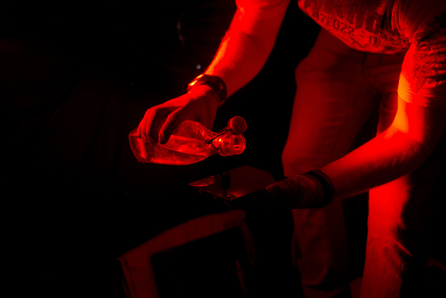
Carolyn Drake Russell James, a photography student from Utah State, makes tin type photos of a landscape art piece called the Spiral Jetty on the north arm of the lake. Great Salt Lake, UT. USA. 2016. © Carolyn Drake | Magnum Photos
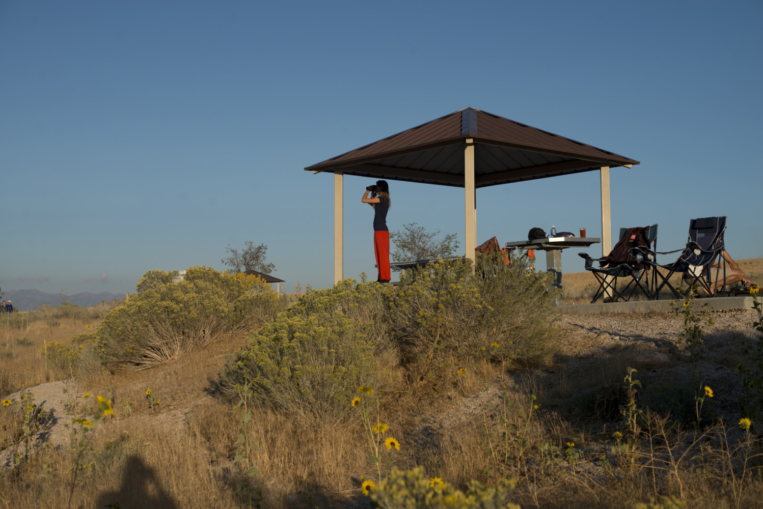
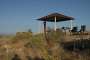
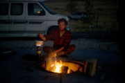
Carolyn Drake USA. Syracuse, UT. 2016. Antelope Island campground. Antelope Island with an area of 42 square miles is the largest of 10 islands located within the Great Salt Lake but it is actually a peninsula. (...)
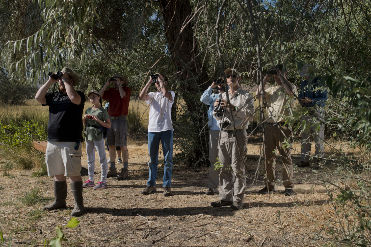
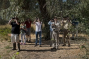
Carolyn Drake USA. Syracuse, UT. 2016. Bird watching organized by the Audubon Society on Antelope Island Sunday morning. © Carolyn Drake | Magnum Photos
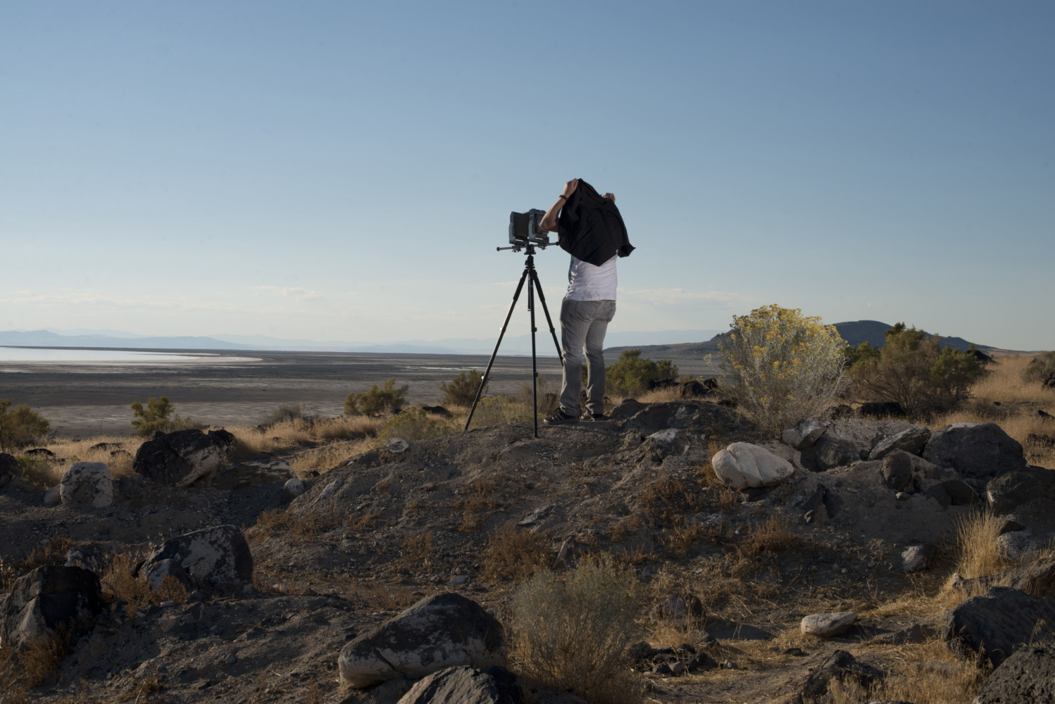
Carolyn Drake USA. Great Salt Lake, UT. 2016. Russell James, a photography student from Utah State makes tin types of the Spiral Jetty on the north arm of the great salt lake. In 1959, a 30-foot stone railroad c (...)
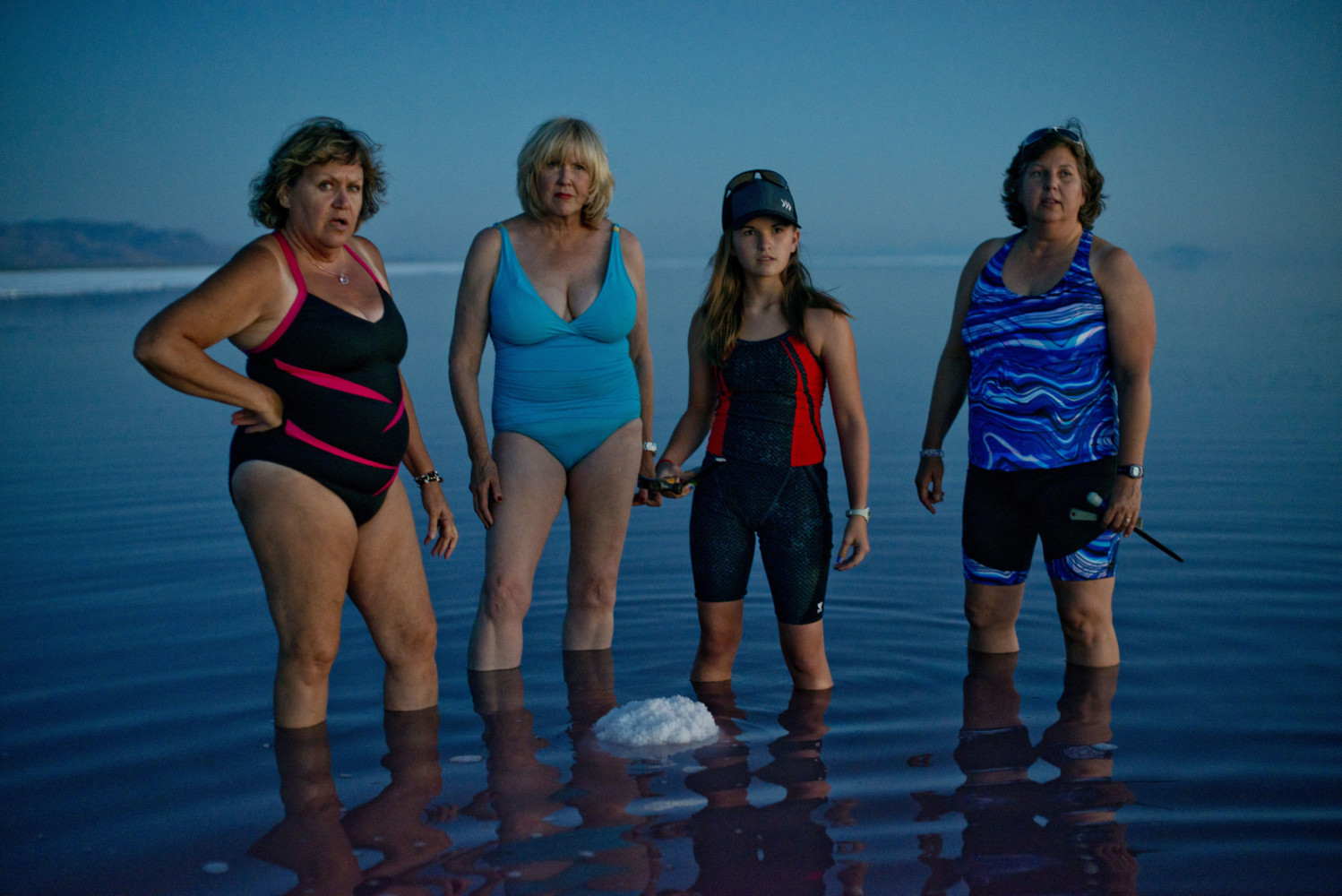
Carolyn Drake On the night of the full moon, a group of women gather to swim in the salty water in the north arm of the lake. They also burned sage and collected pieces of salt crystal from the lake. Great Salt (...)
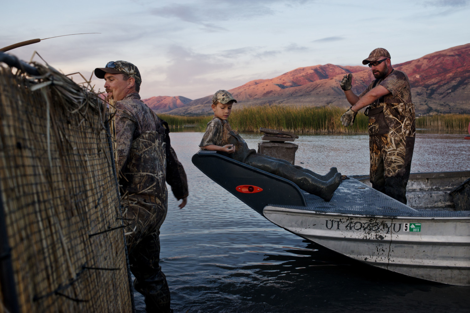
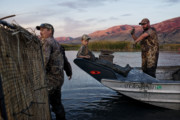
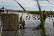
Carolyn Drake Youth hunt on Willard Bay in the Great Salt Lake. Willard, UT. USA. 2016. © Carolyn Drake | Magnum Photos
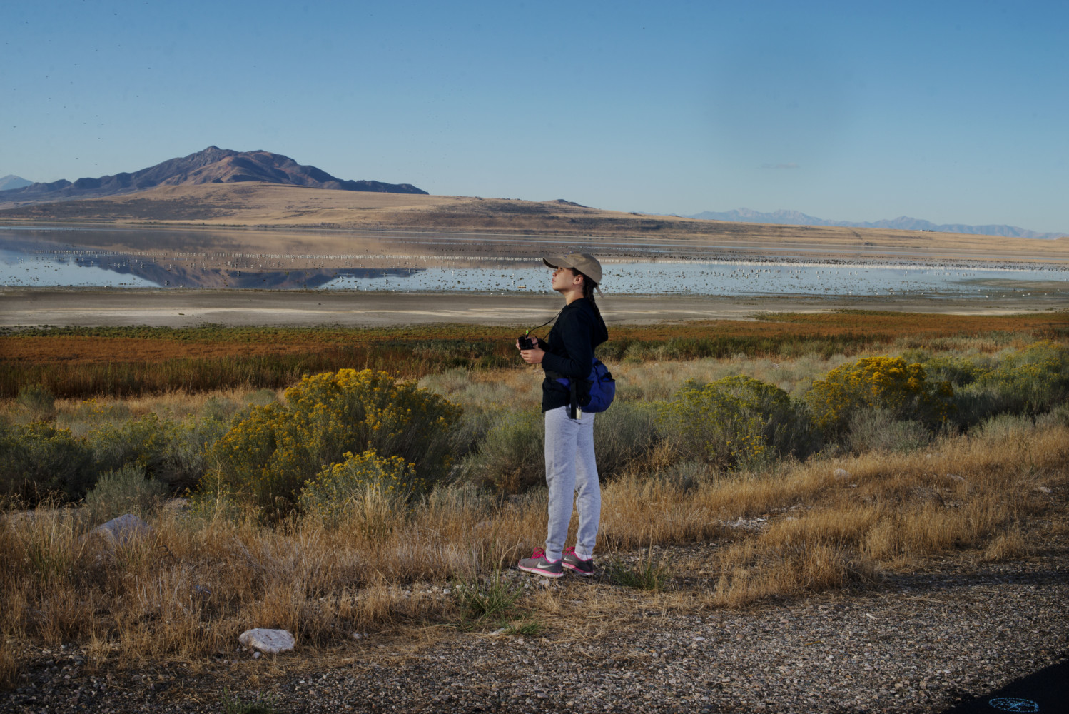
Carolyn Drake Bird watching organized by the Audubon Society on Antelope Island. Syracuse, UT. USA. 2016. © Carolyn Drake | Magnum Photos
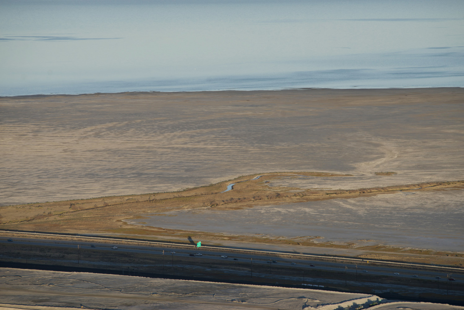
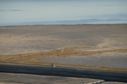
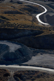
Carolyn Drake USA. Salt Lake City/Great Salt Lake, UT. 2016. Aerial views of the great salt lake via Utah Helicopter. Highway 80 below the south shore of Great salt lake © Carolyn Drake | Magnum Photos
Carolyn Drake USA. Salt Lake City, UT. 2016. View west over Farmington Bay and Ogden bay toward antelope Island and the south arm of the great salt lake from Francis Peak. Farmington Bay I was told is one of the (...)

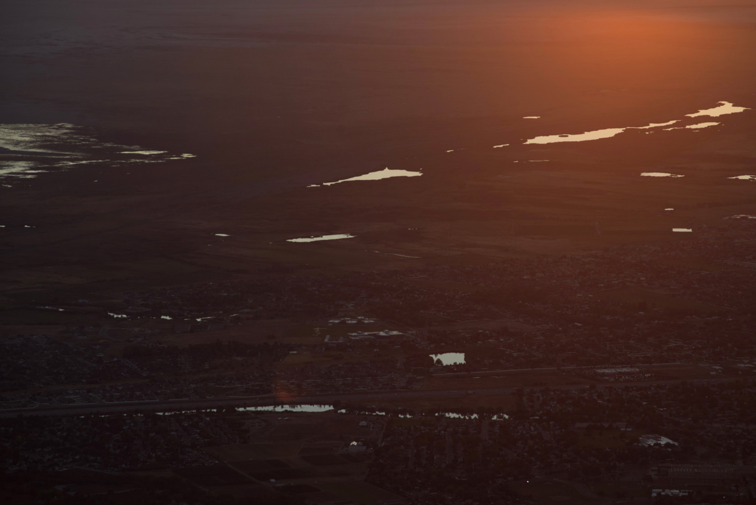
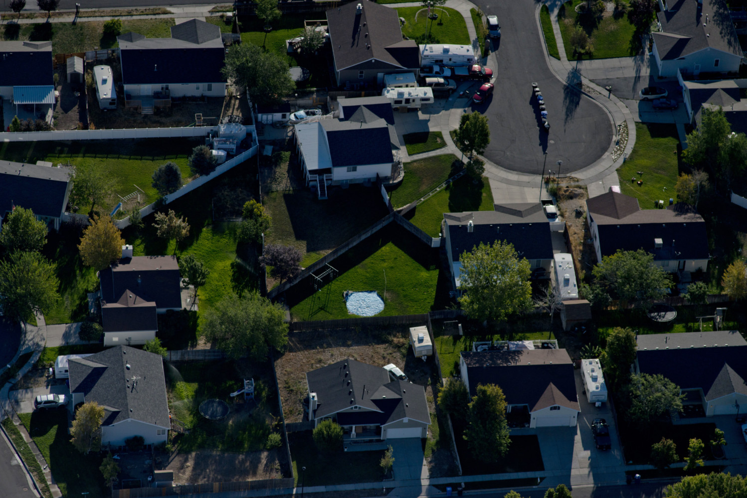
Carolyn Drake Aerial views of new residential developments near the Great Salt Lake. West Valley City, UT. USA. 2016. © Carolyn Drake | Magnum Photos
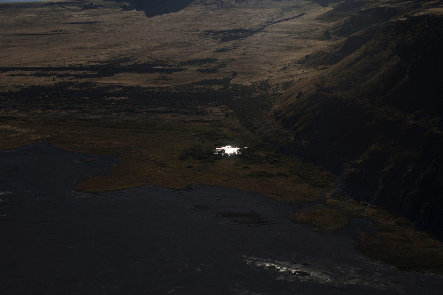
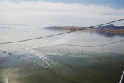
Carolyn Drake Aerial views of the great salt lake via Utah Helicopter. The west edge of antelope island. Salt Lake City/Great Salt Lake, UT. USA. 2016. © Carolyn Drake | Magnum Photos
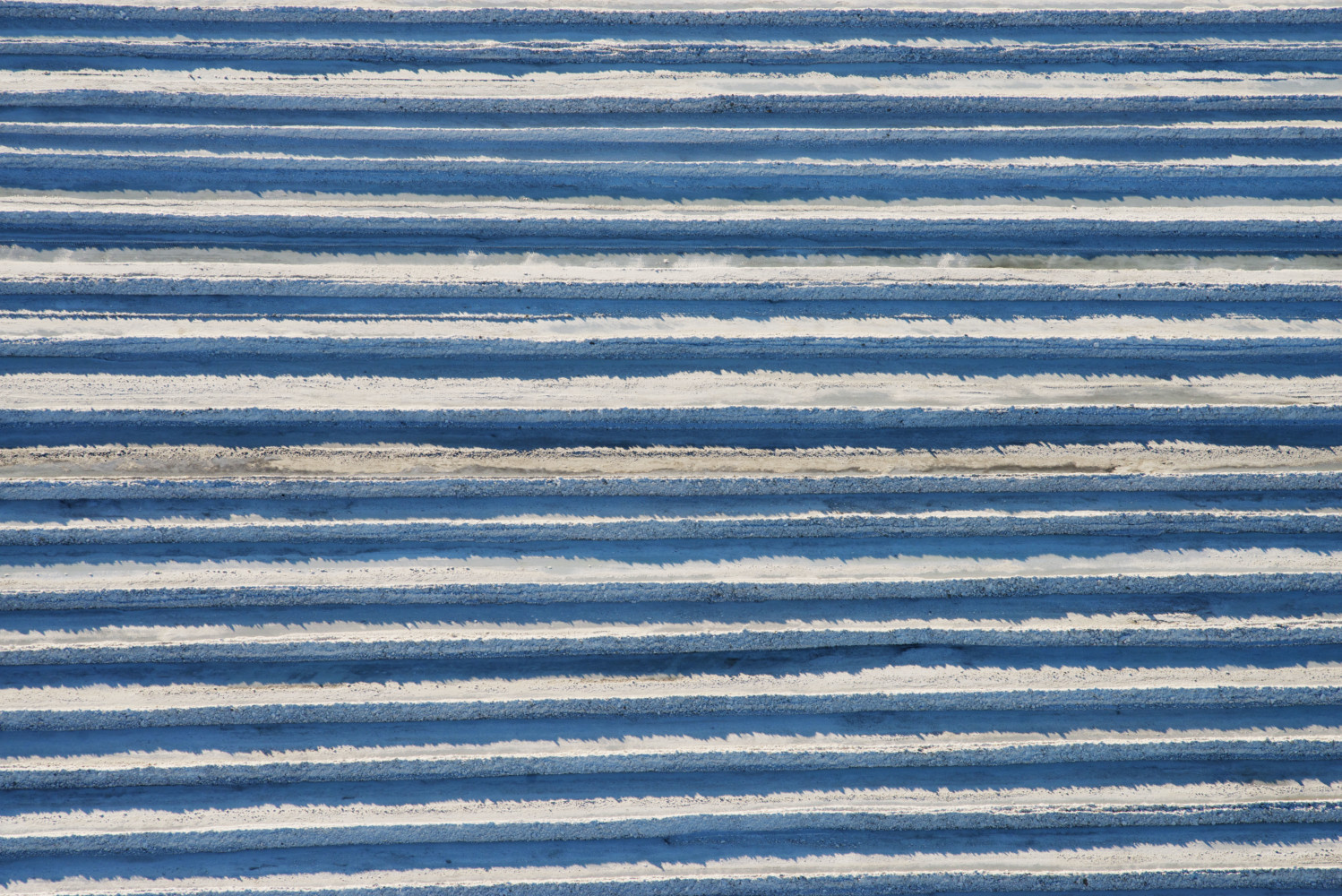
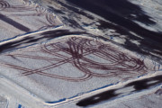
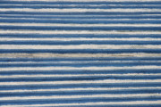
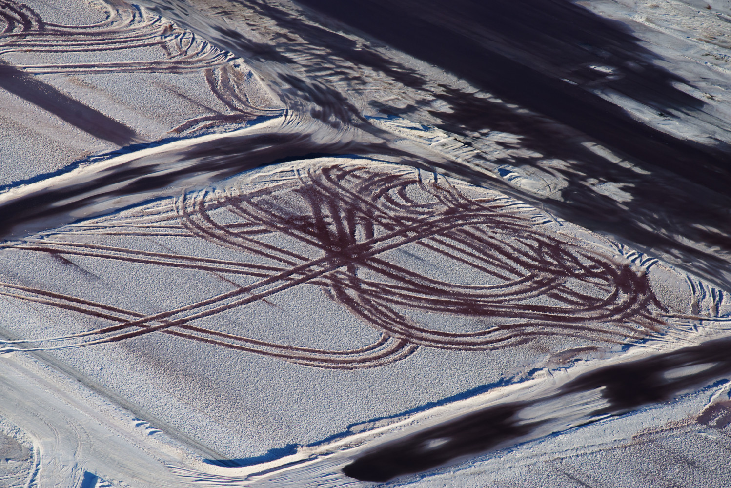
Carolyn Drake USA. Salt Lake City/Great Salt Lake, UT. 2016. Aerial views of the great salt lake via Utah Helicopter. These salt windrows are located in a Compass Minerals evaporation pond, and are minerals prep (...)

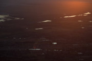
Carolyn Drake Aerial view of dried areas of Farmington Bay. Salt Lake City/Great Salt Lake, UT. USA. 2016. © Carolyn Drake | Magnum Photos

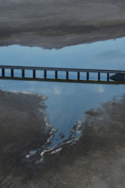
Carolyn Drake Aerial view of the railroad causeway over the east side of the Great Salt Lake. Great Salt Lake, UT. USA. 2016. © Carolyn Drake | Magnum Photos
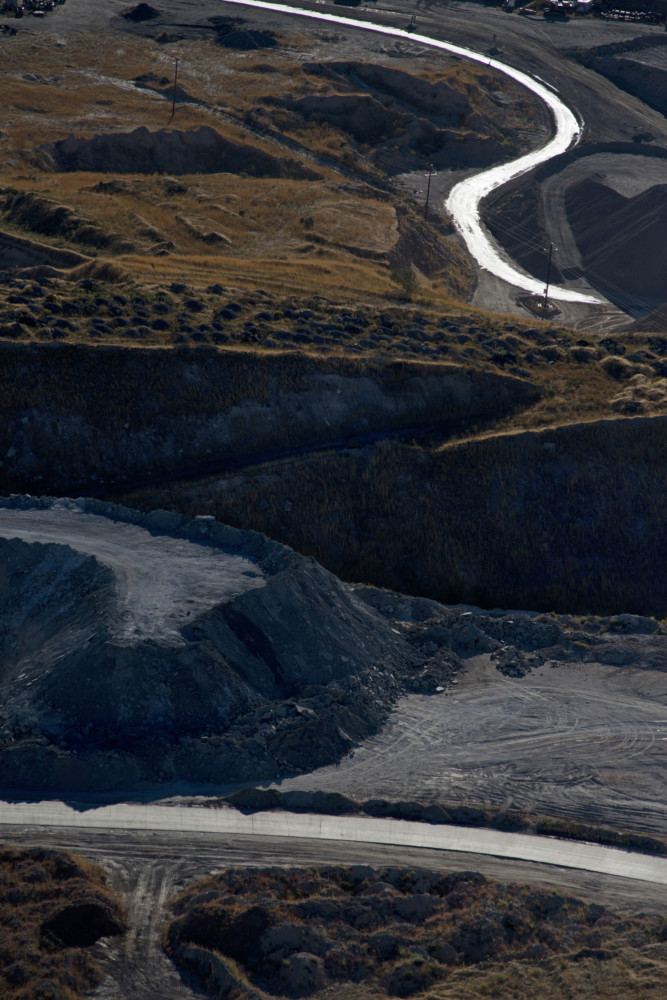
Carolyn Drake USA. Salt Lake City/Great Salt Lake, UT. 2016. Aerial views of the great salt lake via Utah Helicopter. Magna (Kennecot Copper power plant and its sludge ponds) © Carolyn Drake | Magnum Photos

Carolyn Drake USA. Salt Lake City, UT. 2016. For her PHD research, Taylor Hannah along with John Neil and other biologists, takes a boat out from Antelope Island marina to trap two eared grebes and attach satell (...)
Carolyn Drake USA. West Valley City, UT. 2016. Aerial views of the great salt lake via Utah Helicopter. West Valley City, south of salt lake city © Carolyn Drake | Magnum Photos
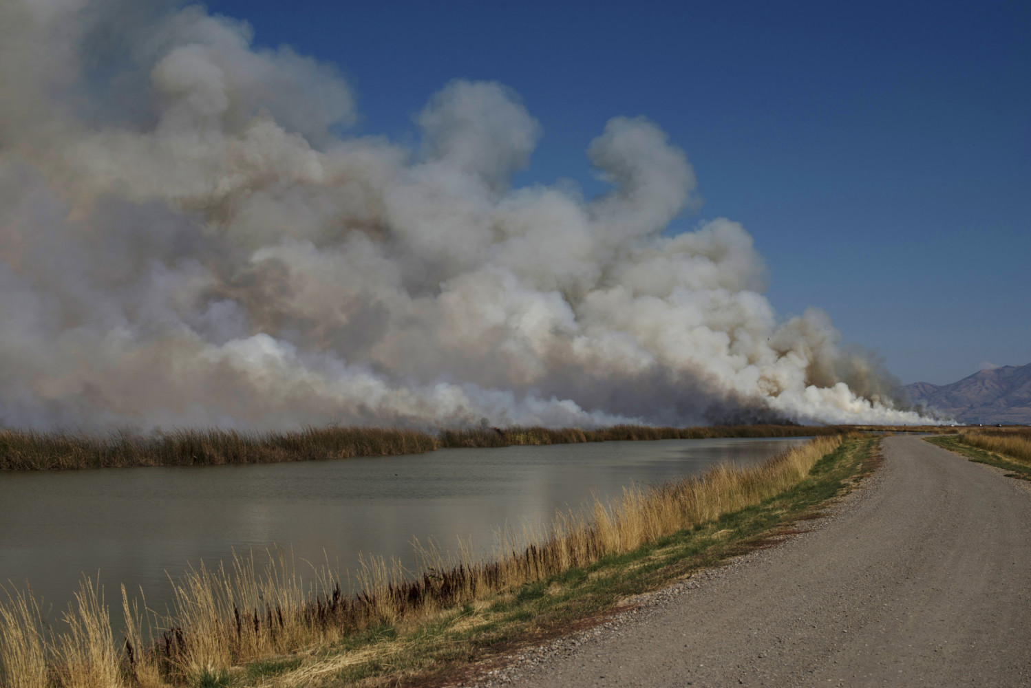
Carolyn Drake USA. Brigham City, UT. 2016. After killing invasive phragmites weeds with roundup on several units of the Bear River Migratory Bird Refuge, the phragmites is destroyed through a planned burn. The r (...)
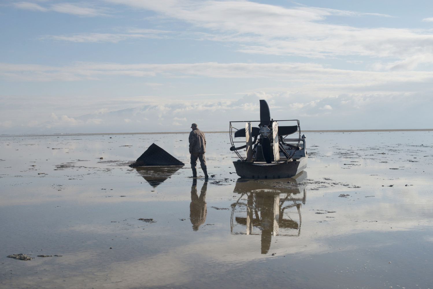
Carolyn Drake USA. Ogden, UT. 2016. R Jefre Hicks, a great salt lake activist and hunter, takes me out on his airboat in Ogden Bay. He stops at a spot where an airboat got stuck in the mud last winter. © Carolyn Drake | Magnum Photos
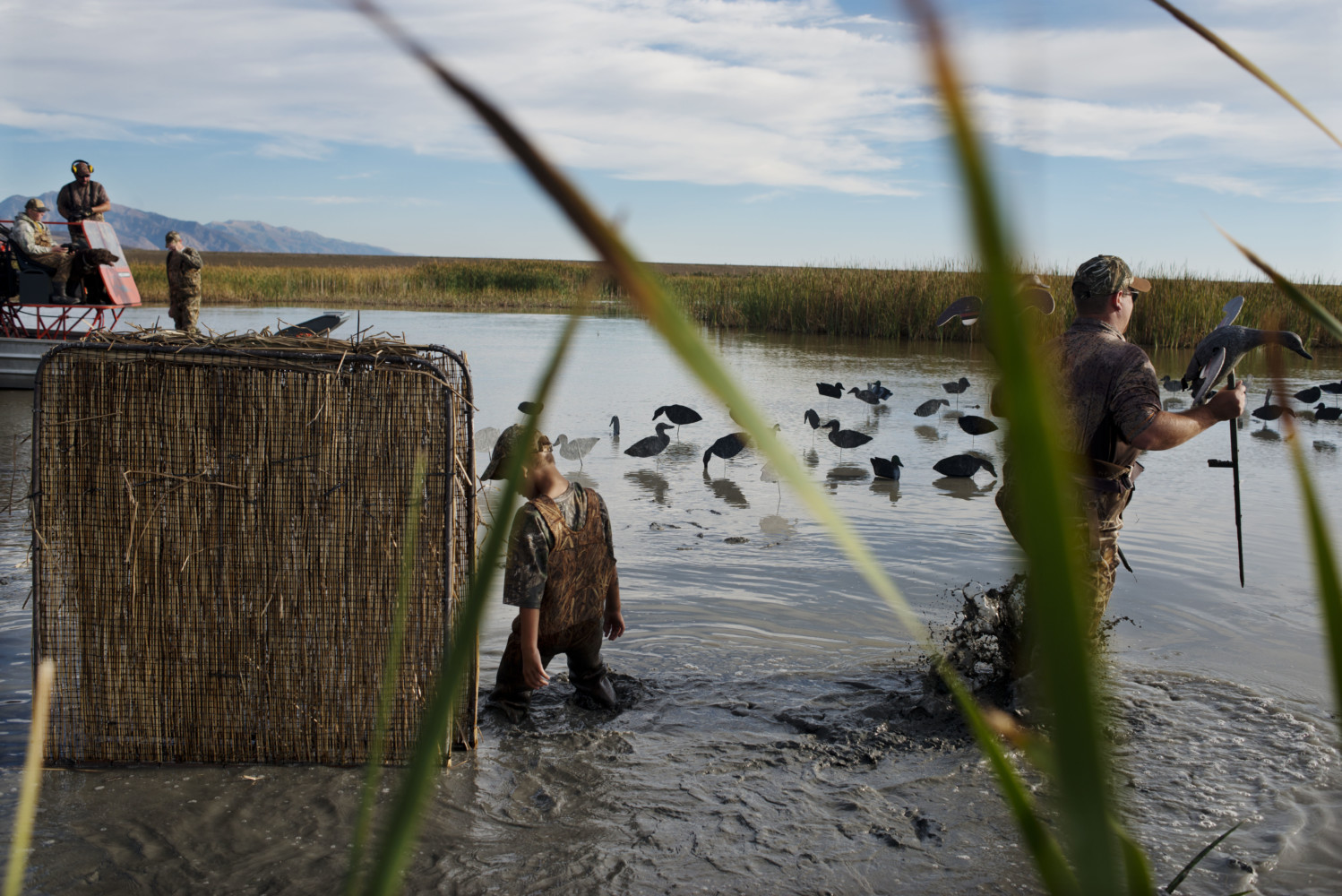
Carolyn Drake USA. Willard, UT. 2016. Youth hunt on Willard Bay organized by Chuck Harsin. This is a duck hunting day before the regular hunting season starts just for youth (accompanied by guardians or parents). © Carolyn Drake | Magnum Photos
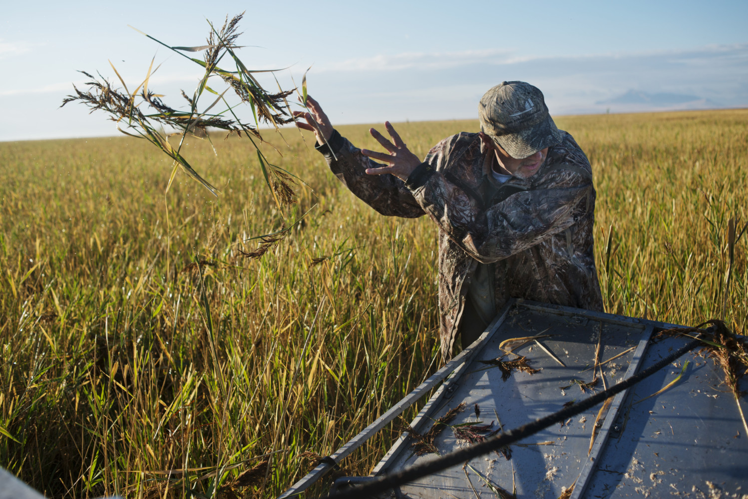
Carolyn Drake R Jefre Hicks, an activist and hunter, travels by air boat to cut down phragmites in Ogden Bay, part of the Great Salt Lake. The bay is covered in phragmites, a weed that takes over wetlands and sp (...)

Carolyn Drake USA. Syracuse, UT. 2016. Antelope Island campground. Antelope Island with an area of 42 square miles is the largest of 10 islands located within the Great Salt Lake but it is actually a peninsula. (...)